Lead image thanks to THE CROWD & THE CLOUD, CrowdAndCloud.org, supported by NSF, the National Science Foundation
Join us Saturday, October 21st for a hands-on workshop to explore the Africatown Connections Blueway and learn about low cost and accessible aerial mapping techniques.
When: Saturday, October 21st, from 11am-3pm
Where: Robert L. Hope Community Center (850 Edwards Street, Mobile, AL)
Other Notes: Participants should wear clothes and shoes that are comfortable for walking around outside. The workshop will include lunch for participants.
Goals of the workshops are to:
- Educate and build environmental awareness by promoting stewardship and monitoring around the Blueway.
- Share and celebrate the history of the area.
- Motivate people, particularly the youth, to engage in science and the Blueway,
- Think about advocacy related to environmental issues and the Blueway resources.
Outcomes for participants
- Develop an understanding of community science and connect with others working on community science projects and thinking.
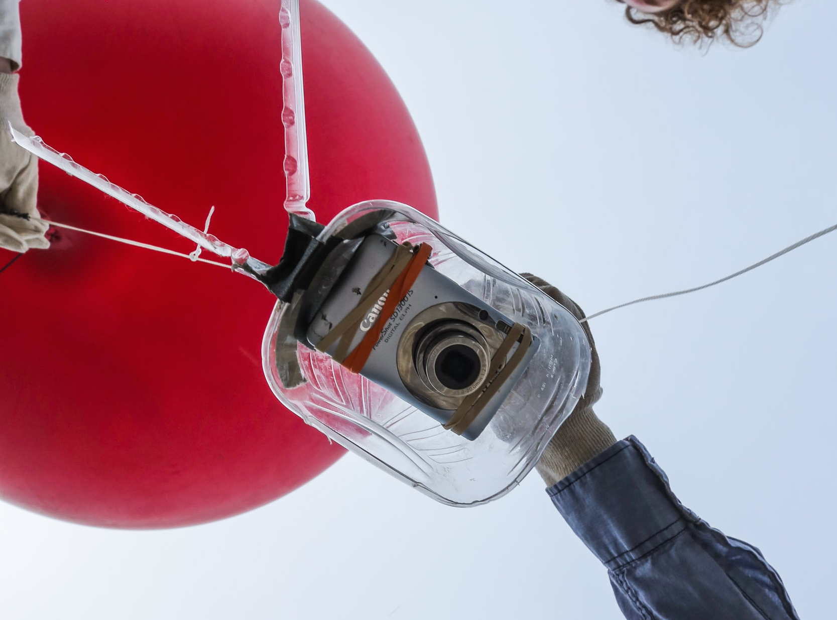
- Learn about low cost, open source accessible mapping techniques using balloons, kites, and digital cameras.
- Learn about the Blueway, and the history around the sites mapped.
- Create maps of the site from the images captured using Mapknitter.
Partners in this event include:


![]()
Read more about the Africatown Connections Blueway Project here and about historical Africatown on page 32 of this Urban Waters publication.
0 Comments
Login to comment.