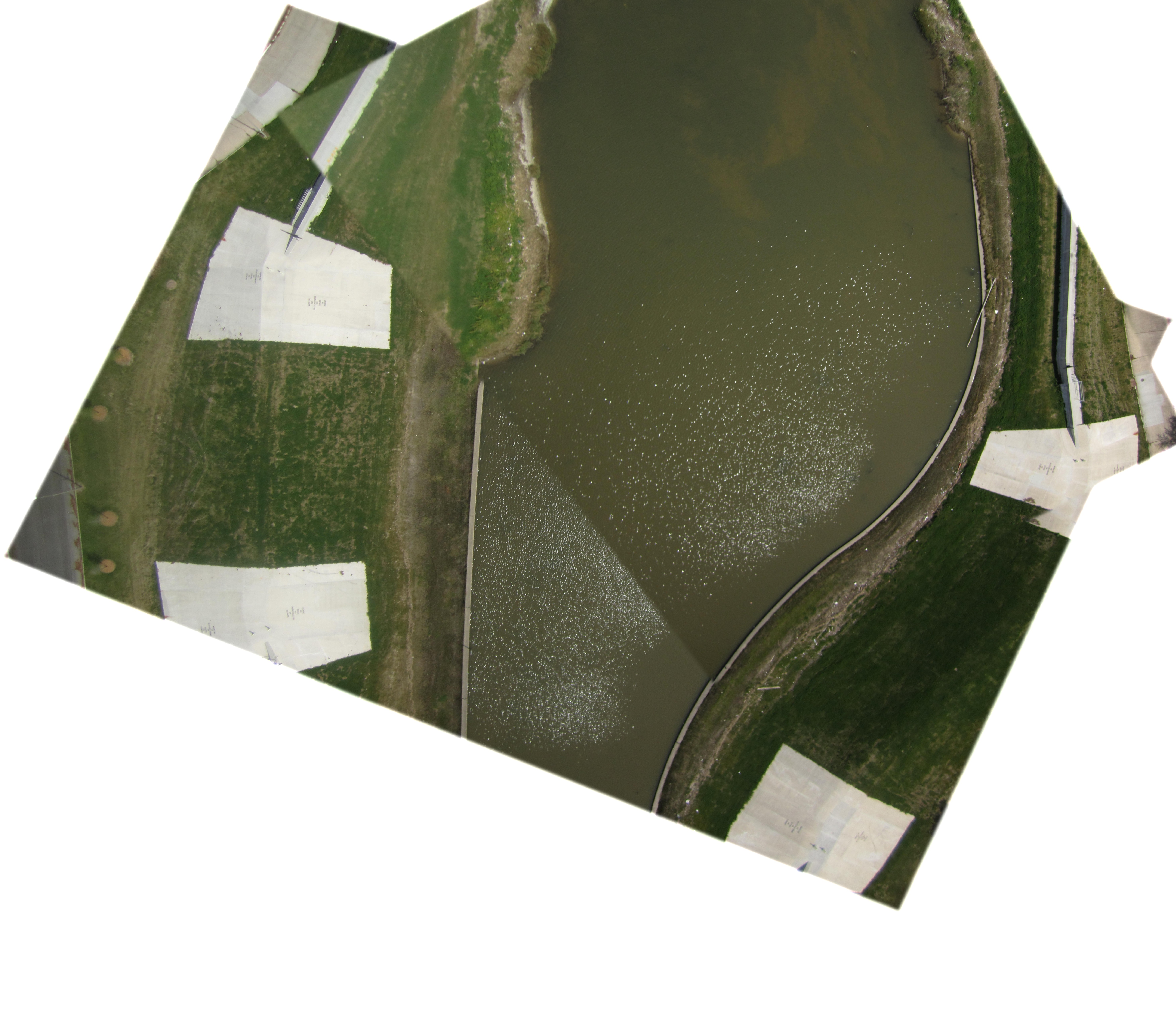
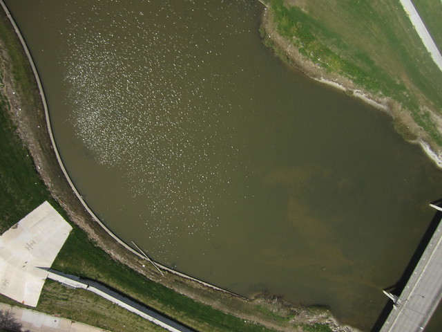
Mouth of Bayou St. John into Lake Pontchartrain. New Orleans, Louisiana.
By Cartographer: Scott Eustis and Stewart Long | Mapper: Scott Eustis
122 views
Ground resolution: 3.7 cm/px
Capture date: 2013-04-03
Publication date: 2014-02-12
License: Public Domain
By Cartographer: Scott Eustis and Stewart Long | Mapper: Scott Eustis
103 views
Ground resolution: 3.7 cm/px
Capture date: 2013-04-03
Publication date: 2014-02-12
License: Public Domain
Research Note:
http://publiclab.org/notes/eustatic/4-3-2013/kite-map-mouth-bayou-st-john
Notes
Another map of a "before" the restoration project. I need to do a second run north of the bridge, to capture the sandbar without so much distortion
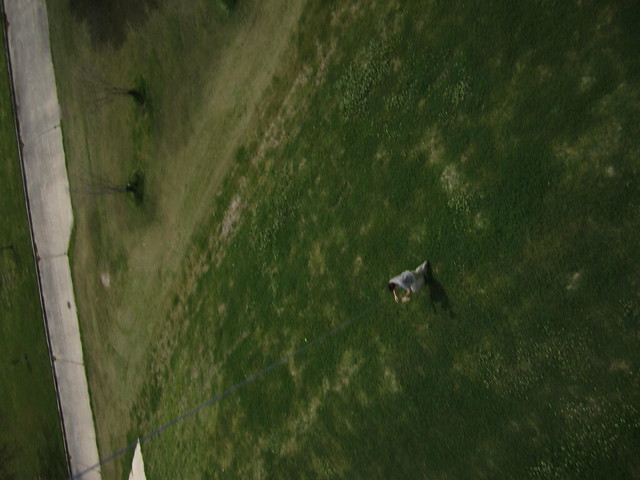
mappers: scott eustis, solo kite: little bear camera: powershot 1400 rig: soda bottle time: 3 hours
Started mapping on the west side of the bayou, but found that there was a lot more runway on the east side. the combination of lake, levee, and runway, as well as future wetlands, make this spot a prime spot for teaching aerial mapping of wetlands with kites and balloons.
There are also lots of dog owners and fishermen out, regularly.
Cartographer notes
Notes
Another map of a "before" the restoration project. I need to do a second run north of the bridge, to capture the sandbar without so much distortion
mappers: scott eustis, solo kite: little bear camera: powershot 1400 rig: soda bottle time: 3 hours
Started mapping on the west side of the bayou, but found that there was a lot more runway on the east side. the combination of lake, levee, and runway, as well as future wetlands, make this spot a prime spot for teaching aerial mapping of wetlands with kites and balloons.
There are also lots of dog owners and fishermen out, regularly.
Cartographer notes
0 Comments
Login to comment.