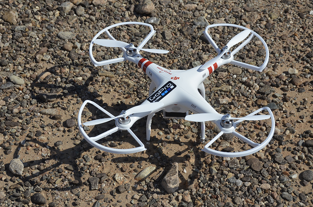
The use of a radio-controlled DJI Phantom quadcopter with a GoPro camera has proved to be a valuable tool to help document features best seen from the air. The GoPro camera can be set for interval photography (e.g. every 5 seconds) and the fisheye image distortion can be reasonably corrected in Photoshop. This approach minimizes impact on sensitive sites by eliminating the need to walk all over them.
See examples at http://www.rupestrian.com/quadcopter.html and http://www.rupestrian.com/stitching-air-photos.html

5 Comments
Neat. Photoshop is very capable, but you might try using Hugin to do the barrel distortion, since its open source and easier to script. Here's a good tutorial on eliminating barrel distortion in GoPro images using Hugin: http://www.fotovlieger.nl/techniek/gopro_lens_correction_with_hugin
Reply to this comment...
Log in to comment
Thanks. Options now include GoPro camera/lens correction modules in Photoshop and in Dxo. These became available after the images posted above.
Reply to this comment...
Log in to comment
rmark, I am looking for quadcoptor enthusiest and engineers to work on a very cool project, let me know if you are interested!
Reply to this comment...
Log in to comment
STAndrews00, send me more information: rockart@infomagic.net.
Reply to this comment...
Log in to comment
Hey, if you are still looking for more information how to get good camera, here's the good resource: http://bestquadwithcamera.com/tips-and-guides/best-quadcopter-fpv-cameras/
Reply to this comment...
Log in to comment
Login to comment.